My name is Joël Masimo Kabuanga. I am a
Teaching Assistant at the Université du Bas-Uélé
and a PhD candidate in Spatial Ecology at the
Université du Québec en Abitibi-Témiscamingue (UQAT), Canada.
I hold a Master’s degree in Biodiversity Conservation from the
University of Kisangani (UNIKIS), completed under the supervision of
Professor
Onésime Mubenga Kankonda
and Dr.
Landing Mané
(Central African Forest Observatory – OSFAC).
My research focuses on understanding how human activities transform landscapes
and ecosystems across tropical and boreal environments. I combine
remote sensing, machine learning and
spatial ecology to map anthropogenic pressures, analyse landscape dynamics
and fragmentation, assess environmental impacts, and support sustainable land management.
My current work addresses land-use change, agricultural expansion, artisanal mining,
protected area effectiveness, trace metal contamination, and socio-ecological adaptation
in forest-dependent communities.
Through interdisciplinary approaches, I aim to advance the understanding of
human–environment interactions and contribute to evidence-based
conservation and territorial planning.
Landsat, Sentinel, PlanetScope, ASTER, MODIS, SRTM.
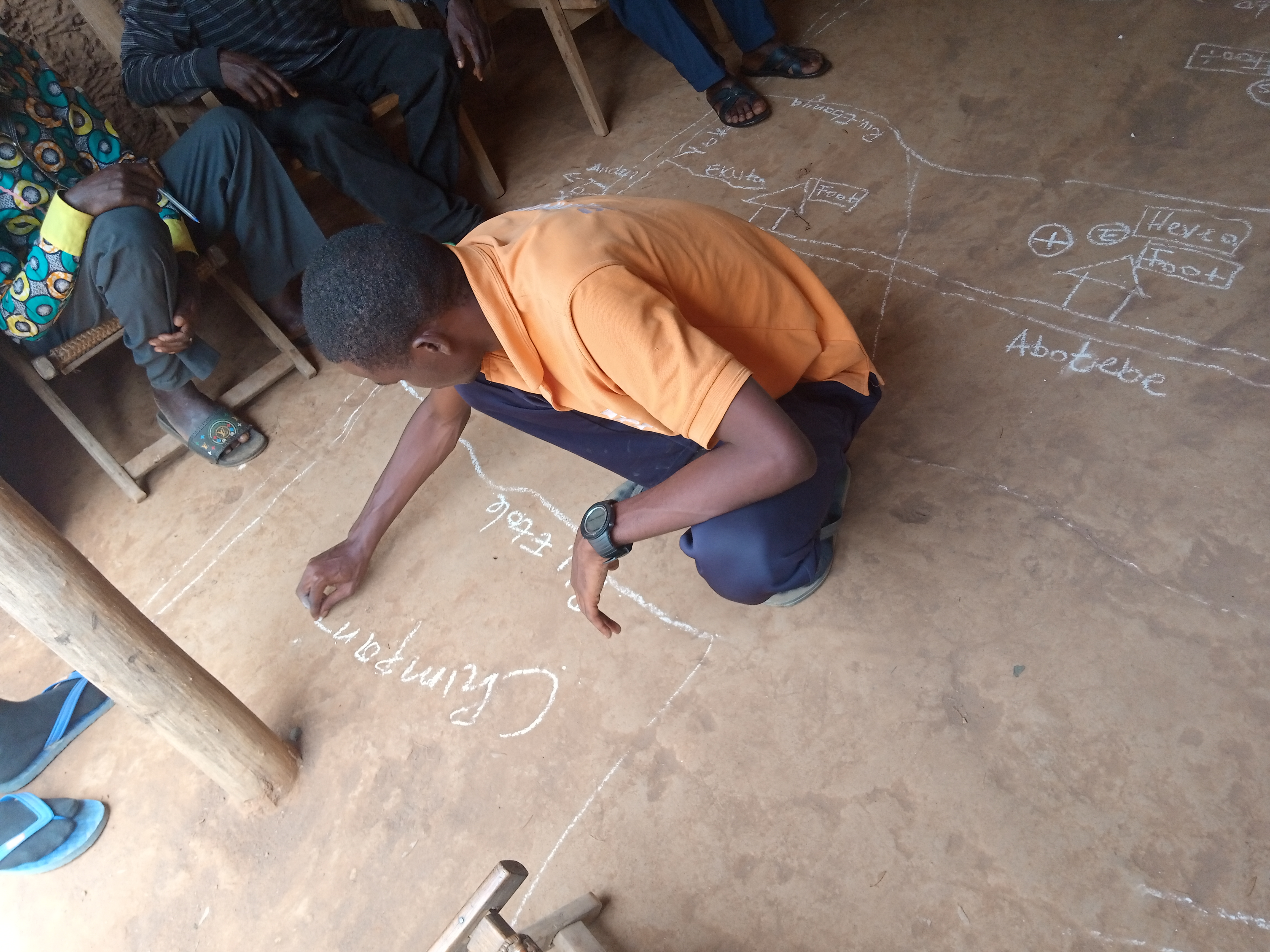
Production, analysis and valorization of geographic information.
Participatory mapping, land-use scenarios and simple land-use plans.
GIS expert
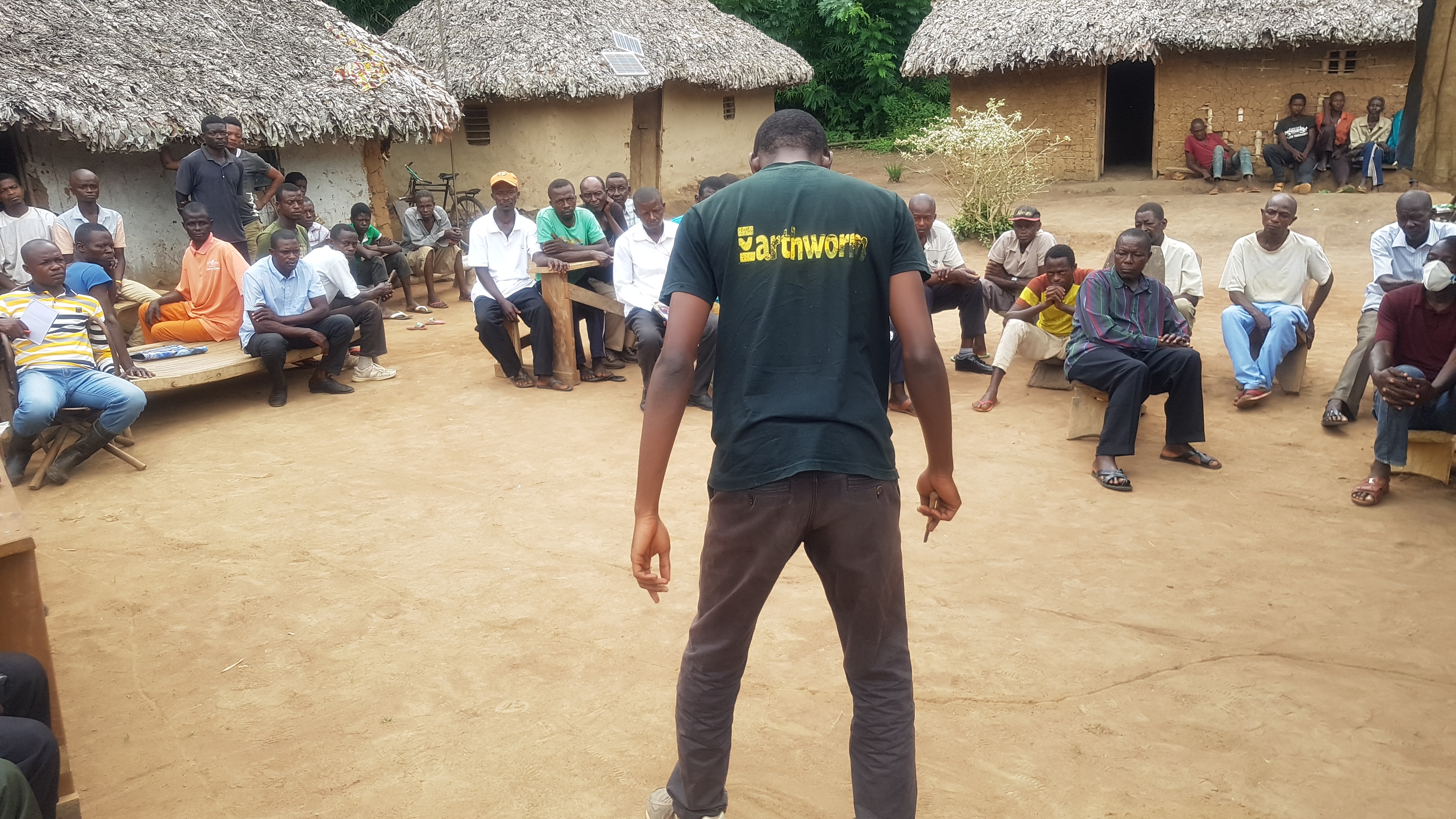
Project to stabilize deforestation and forest degradation and sustainably improve the incomes of local communities in Bas-Uélé Province.
Antwerp Zoo Foundation, Buta, DR Congo
GIS expert
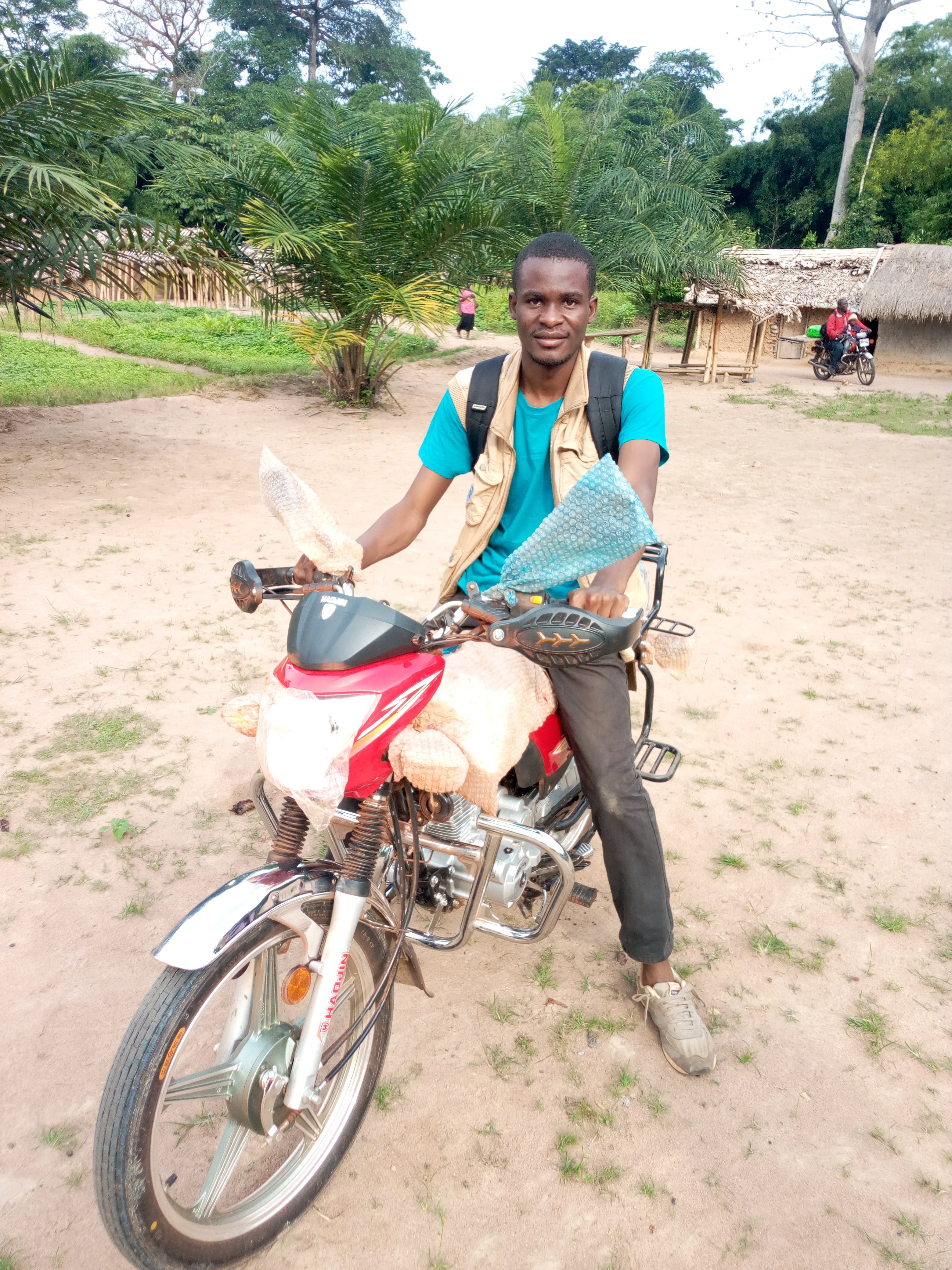
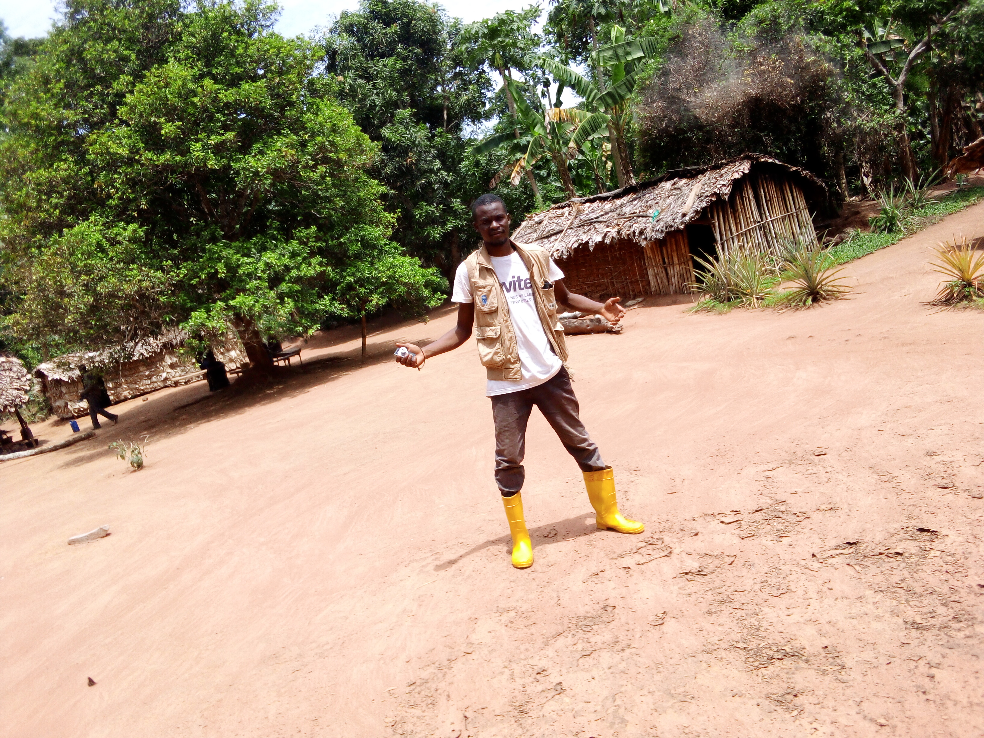
Rural diagnosis in the Lokutu area, DR Congo.
Earthworm Foundation, Lokutu, DR Congo
GIS expert
Local environmental and social management plan in the Mambasa chiefdom, DR Congo.
PhD in Spatial Ecology
Université du Québec en Abitibi-Témiscamingue, Canada.
MSc in Biodiversity Conservation
University of Kisangani, DR Congo.
BSc in Ecosystem Management
University of Kisangani, DR Congo.
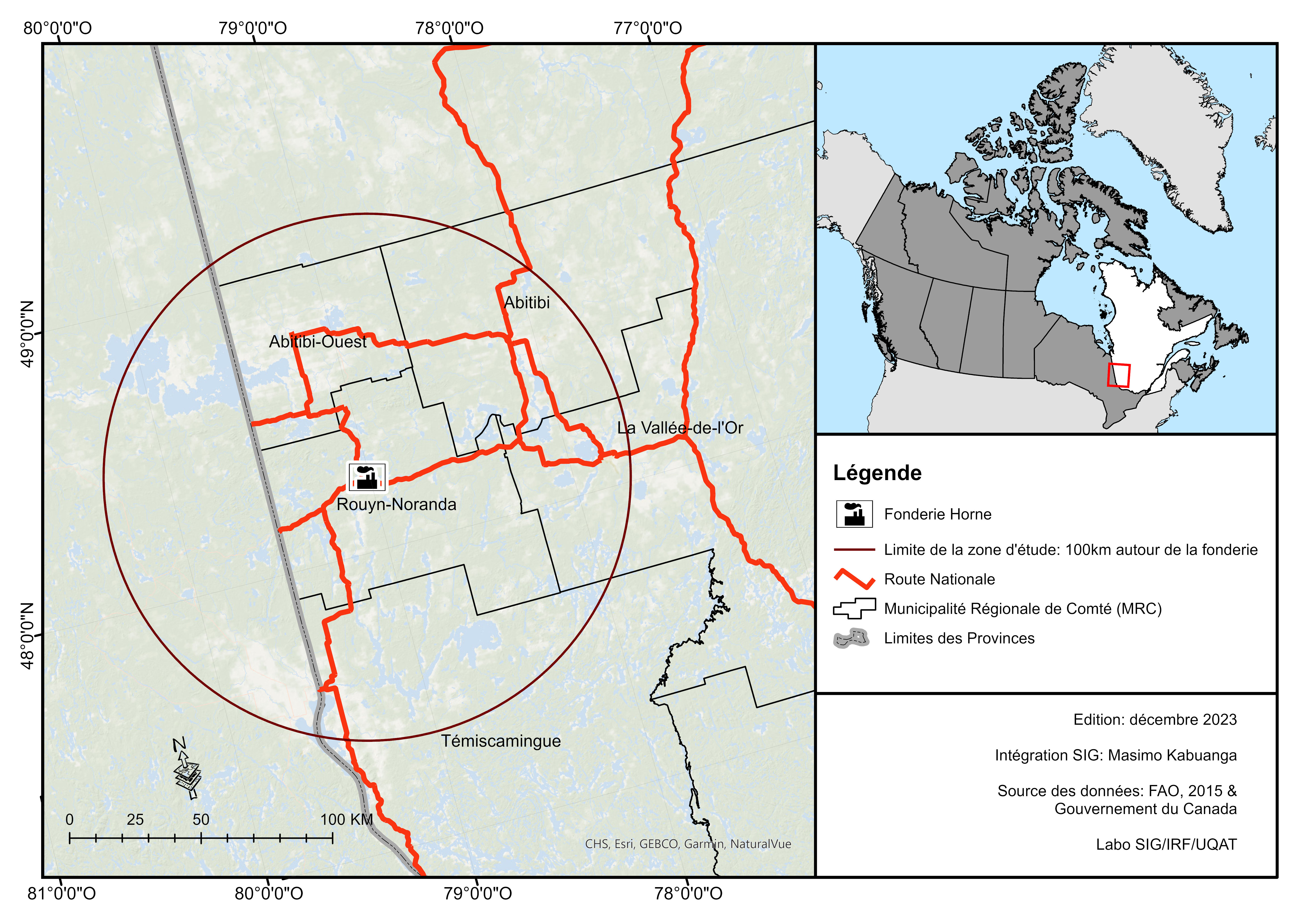
The map shows the distribution of the study areas for my work.
Peer-reviewed papers
Preprints
Manuscripts
Citations
This PhD project develops remote sensing and machine learning approaches to characterize rock outcrop surface conditions and trace metal accumulation near the Horne smelter in Rouyn-Noranda, Québec.
Keywords: rock outcrops, trace metals, smelter, restoration, remote sensing, boreal forest, Canada.
Read more
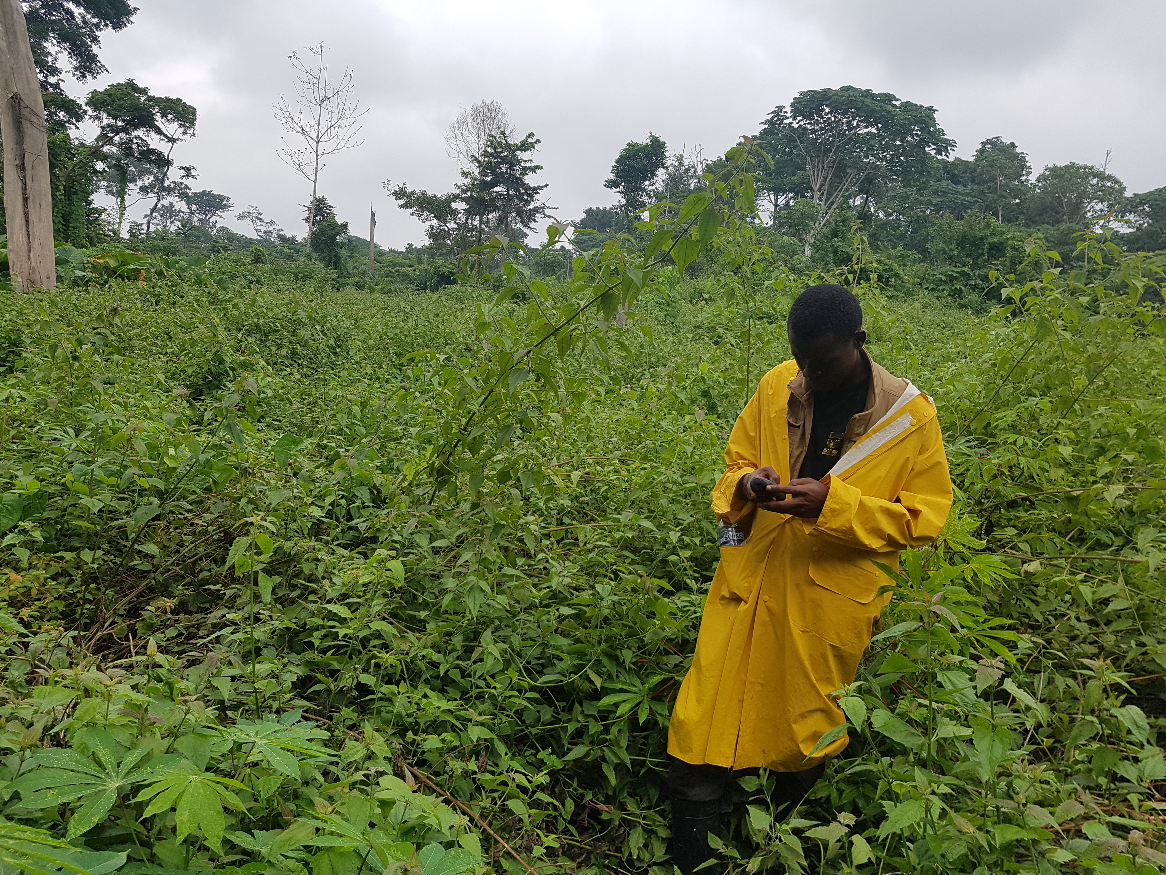
This project uses ecological monitoring data, aerial survey observations and machine learning to predict the spatial distribution of human activities in a protected area of northern DR Congo.
Keywords: machine learning, biodiversity, ecological monitoring, remote sensing, protected areas, Congo.
Read more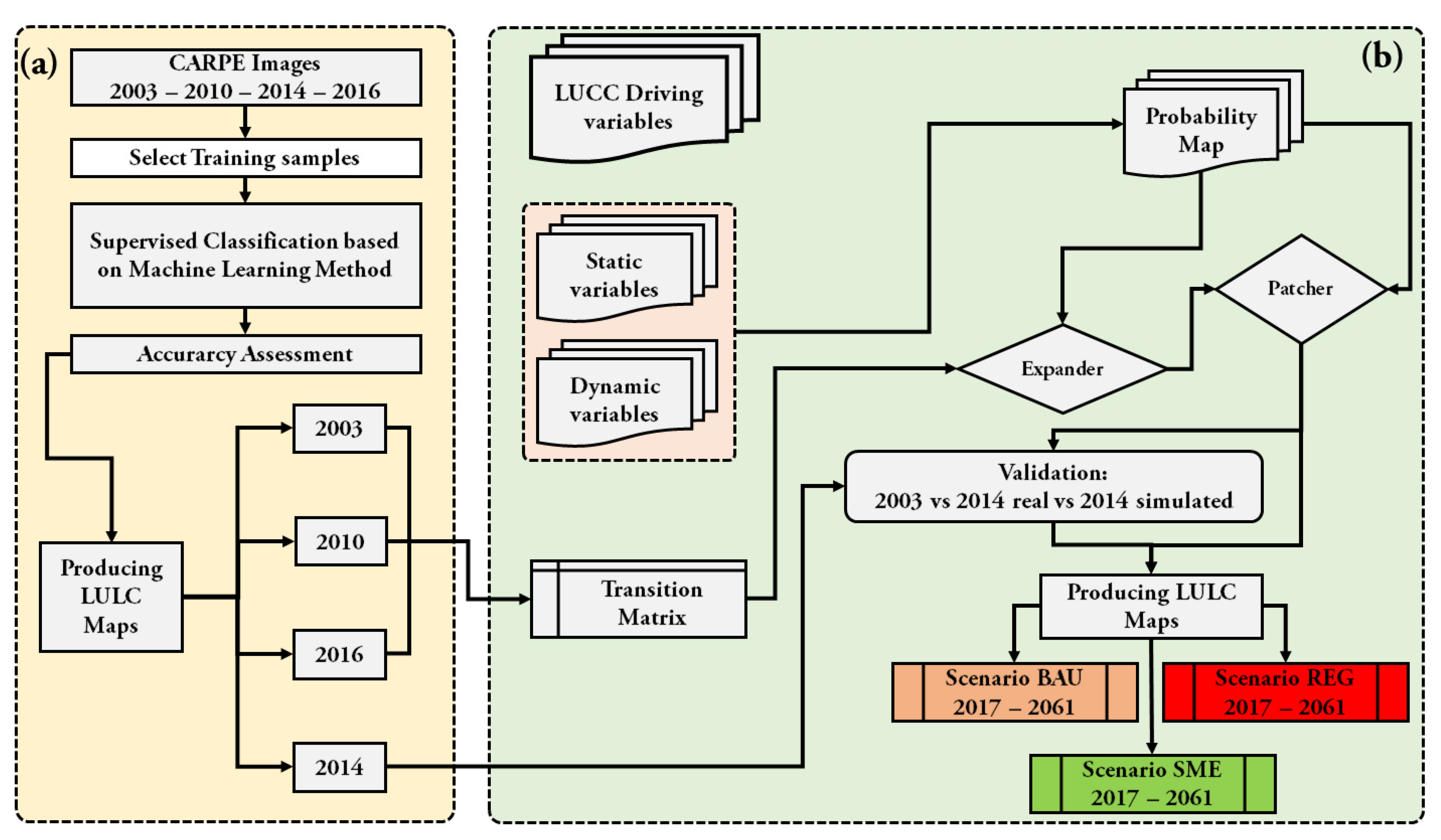
The Ituri–Epulu–Aru Landscape (IEAL), located in northeastern Democratic Republic of the Congo, is one of Central Africa's most biodiverse forest regions and plays a critical role in biodiversity conservation and local livelihoods. However, increasing pressures from small-scale agriculture, population growth, infrastructure development and extractive activities are accelerating forest loss and landscape transformation.
This research project integrates remote sensing, machine learning and spatial modelling to understand the drivers, trajectories and governance dimensions of deforestation across the landscape. The project combines three complementary components.
First, historical land-use dynamics and future deforestation trajectories were
analysed using multi-temporal satellite imagery and scenario-based modelling in
DINAMICA EGO. Alternative development pathways highlighted the long-term implications
of business-as-usual, rapid economic growth and sustainable management strategies
for forest conservation.
Scenario modelling article
Second, a reproducible machine learning framework based on Random Forest was developed
to improve deforestation mapping in cloud-prone tropical environments using multisource
remote sensing data. The study demonstrated the value of combining spectral, vegetation
and geomorphological variables to enhance the detection of old-growth forest loss.
Random Forest mapping article
Third, the project evaluated the effectiveness of functional zoning within the
Okapi Wildlife Reserve by examining land-use and land-cover dynamics across conservation,
agricultural, hunting and unallocated zones. Results showed that zoning alone does not
determine conservation outcomes; rather, its effectiveness depends on governance capacity,
accessibility, local livelihood strategies and resource availability.
Functional zoning preprint
Overall, this research advances understanding of how human pressures, land-use policies and environmental governance interact to shape deforestation patterns in tropical forest landscapes. The findings provide evidence-based insights to support adaptive conservation planning and sustainable land management in the Congo Basin.
Read more